• Identification and description of sedimentary rocks
• Field recognition of paleosols
• Identification of sedimentary structures
• Measurement of cross-bedding
• Plotting cross-bedding measurements to determine paleocurrent directions
• Measurement of imbrication in pebbles to determine paleocurrent directions
• Measurement of stratigraphic sections
• Plotting stratigraphic boundaries on aerial photographs
• Measurement of strike and dip of bedding planes, joints, and faults using a Brunton compass
• Locating and interpreting subsurface data from boreholes and seismic data (depending on availability).
• Field recognition and measurement of normal and reverse faults
• Plotting structural features such as fold axes, faults, joints on a stereographic projection to aid in structural interpretation
• Recognition of stratigraphic units in the Little Badlands
• Knowledge of the sedimentary facies of alluvial fans, meandering streams, braided streams, and deltas to aid in sedimentological and paleoclimatic interpretation
• Knowledge of the sedimentary origins of the Great Plains
• Knowledge of the tectonic history of the Rocky Mountains
• Knowledge of surficial features, processes and deposits especially pediplains, fluvial terraces, piping, headward erosion, and colluvium
• Ability to express geologic measurements and units in a GIS
Useful Skills


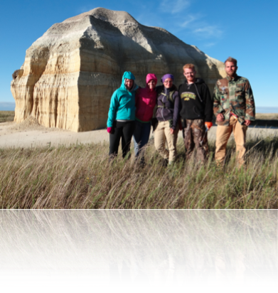
photo: B. Saini-Eidukat
Acknowledgment: Web site and course info based on material developed by Allan Ashworth