Page Title
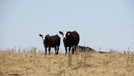
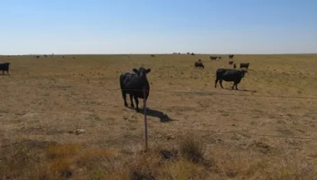
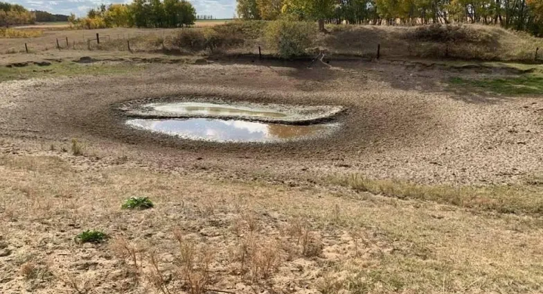
Drought
Banner
Text
NEED HELP?
NDSU Extension develops and updates resources to help farmers and ranchers cope with drought conditions. Contact your NDSU Extension county office if you have questions or want additional information.
Learn more about dealing with farm & ranch stress
RELIEF PROGRAMS
There are a number of government programs available to provide relief to ag producers impacted by the drought.
Sections
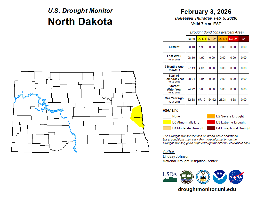
LATEST CONDITIONS
Page Portals